 Skip to content

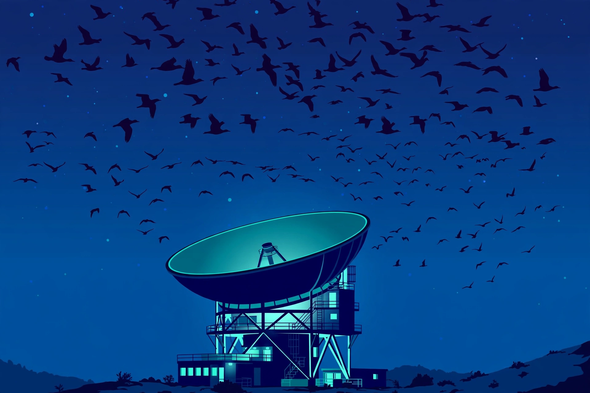
On the night of October 2, scientists predicted that 377 million birds would be aloft over the United States in a single night. In one Colorado county alone, an estimated 31 million birds have crossed since August 1. These are not guesses from a hopeful birder with binoculars. They are measurements, pulled from the same radar network that tracks your weather.
Every fall, billions of birds stream south along invisible highways in the night sky. More than 80 percent of migratory species in North America travel after dark, completely hidden from everyone below. BirdCast is the free tool that turns those radar signals into live maps and forecasts you can check before bedtime. This guide explains how it works and how to read it like a seasoned birder.
What Is BirdCast
BirdCast is a collaboration among the Cornell Lab of Ornithology, Colorado State University, and the University of Massachusetts Amherst. Its stated mission is to use weather radar to detect and predict the numbers and flight directions of migrating birds aloft, supporting bird conservation and expanding our understanding of how birds move.
In plain terms, BirdCast is a public website that watches the night sky so you can, too. It converts data from the nation’s weather radars into colorful migration maps, nightly forecasts, and county-level traffic counts. The tools run during the two migration windows: March 1 through June 15 for spring, and August 1 through November 15 for fall. That schedule lines up with the rhythm of the spring and fall migration seasons across the country.
Everything on the site is free. There is no app to install and no account required to view the maps. You just open birdcast.info, pick the live view or the forecast, and watch the sky light up with birds you will never see with your own eyes.
How BirdCast Actually Works
The magic of BirdCast is not really magic. It is repurposed infrastructure. The radars that warn you about thunderstorms have been quietly detecting birds for decades, and scientists finally taught computers to read the bird part.
The radar was never only for weather
The United States operates a nationwide network of weather surveillance radars, known as NEXRAD. Each station sweeps the sky constantly, sending out radio waves and listening for what bounces back. Raindrops show up. So do flocks of warblers, thrushes, and ducks. For years, these bird signals were treated as noise to be filtered out of the forecast.
Radar ornithology flipped that around. Researchers realized the “noise” was a goldmine: a continuous, continent-wide record of birds in flight. One forecasting study led by Colorado State scientists used observations from 143 weather surveillance radars to evaluate a system for predicting nocturnal migration across the US. BirdCast processes these radar sweeps in near real time, turning weather infrastructure into the world’s largest bird counter.
Separating birds from rain and insects
The obvious problem is that radar sees everything airborne: rain, hail, insects, bats, and birds. BirdCast solves this with a combination of radar physics and computing power. Modern weather radars use a technique called dual-polarization, meaning each station transmits and receives radio waves in both vertical and horizontal directions. That provides a much clearer picture of the size, shape, and direction of whatever the radar hits, which lets researchers isolate bird signals from atmospheric information.
Speed and direction add another layer. Migrating birds move at airspeeds and headings that look nothing like wind-blown rain or drifting insects. Birds often fly against or across the wind, holding a steady migratory heading through the night. Algorithms weigh all of these clues at once and estimate how many birds are in each sweep of the radar beam, how fast they are going, and which way they are pointing. With cloud computing, the system analyzes the full national radar network fast enough to update the live map every 10 minutes.
Turning radar sweeps into a forecast
The live map is only half the story. The BirdCast migration forecast predicts how much migration will occur on coming nights, using machine-learning models trained on more than two decades of radar and weather records. The models combine that migration history with projected weather conditions: wind speed and direction, barometric pressure, and temperature.
Weather is the main switch. Tailwinds can trigger massive migratory movements, because birds save enormous energy riding a following wind. Rain, on the other hand, can shut down flights entirely. The forecast maps depict predicted migration roughly three hours after local sunset, which is when the night’s traffic typically ramps up, and they refresh every six hours. That is why a forecast can shift during the day as the weather picture changes.
Of course, radar only explains the where and the when. The built-in navigation systems birds use to steer these journeys are a separate wonder, one that radar cannot measure at all.
How to Read the BirdCast Dashboard
The BirdCast dashboard has two main views: the live migration map and the forecast maps. A third layer, the county-level dashboard, turns the continental picture into numbers for your neighborhood. Here is what each one tells you.
The live migration traffic map
The live map shows migration as it happens, from sunset to sunrise, updating every 10 minutes through the night. Bright, warm-colored blobs mark where bird density is highest, and small arrows indicate the direction birds are moving. In fall, those arrows overwhelmingly point south.
Read it the way you would read a weather radar. Brighter color means more birds. Darker or empty areas mean quiet skies. A wide glowing band stretching across several states is a major flight night, the kind birders wait for all season.

The forecast maps: tonight and the next three nights
The forecast maps are color-coded displays showing where and when the most intense migration is expected. Each map represents predicted nocturnal migration about three hours after local sunset, and the set extends three days ahead. Just like the live view, brighter colors mean heavier expected traffic.
Use these the way you would use a weather forecast: to plan. If tonight’s map glows bright over your region and tomorrow’s looks dim, tonight is your night to keep an eye on the sky. Because the forecast updates every six hours, check back in the evening for the freshest picture.
Your county, your numbers
This is the feature that surprises most people. Type your county or state into the search bar and the dashboard computes an estimate of migration traffic for that specific area. You will see nightly totals such as how many birds crossed your county during the night and how many were estimated in flight at once, plus the direction they were heading.
The county breakdown currently covers the contiguous United States only. If you live in Alaska, Hawaii, or outside the US, the radar network that feeds BirdCast does not reach you. Within the Lower 48, though, the county detail is genuinely startling: a single county can see millions of birds pass overhead in one night, and BirdCast lets you watch the counter run.
How to Read Tonight’s Forecast for Your Area
Follow these steps tonight and you will know exactly what is flying over your head while you sleep.
- Open birdcast.info: Head to the Migration Tools section and choose the forecast view for tonight.
- Find your county: Type your county or state into the search bar to pull up your local dashboard and nightly totals.
- Read the traffic level: Look at the color over your area on the forecast map. Bright colors mean heavy migration; pale colors mean a quiet night.
- Check the direction: Arrows show the heading of the flight. In October, expect southbound movement as fall migration peaks.
- Note the peak timing: The heaviest traffic usually builds in the first few hours after sunset. Plan dawn birding if the map glows, because those birds will be landing at first light.
- Compare the next three nights: Flip through the forecast maps to pick the best night of the stretch for an early morning outing.
The traffic figure is an estimate, not an exact headcount, but it is the most precise picture of nocturnal migration ever available to the public. A “slow” night can still mean hundreds of thousands of birds over your county.
BirdCast Alerts
If you do not want to check the maps every evening, let BirdCast do the watching for you. The site offers email alert sign-ups in 216 US cities. When an intense migration night is expected near you, the alert lands in your inbox ahead of time.
Alerts are useful for two very different reasons. Birders use them to schedule dawn outings around the biggest flight nights of the season. Conservationists and city managers use them to time “lights out” campaigns, dimming nonessential lighting on the nights when birds are most at risk from artificial light and glass.

What BirdCast Cannot Tell You
BirdCast is powerful, but it has a hard limit built into its physics: radar sees biomass, not species. It can estimate how many birds are aloft, how fast they are flying, how high they are, and which direction they are going. It cannot tell you whether those echoes are warblers, thrushes, sparrows, or ducks.
This is where birders fill the gap. The radar shows the river; eBird checklists show the fish. When BirdCast reports a massive flight night over your county, check eBird the next morning to see what birders actually found on the ground. The two tools together give you the full picture: radar for the quantity and timing, checklists for the identity.
Future research aims to narrow this gap. Scientists have already published automated systems that identify nocturnal flight calls, the species-specific chips birds give in the dark, and integrating call recognition with radar data could one day put names on those glowing blobs. For now, the forecast tells you when to look, not what you will see.
How Birders Use BirdCast
Experienced birders treat the BirdCast migration forecast the way surfers treat a swell forecast. Here is how they put it to work.
Dawn after a big night: The single best use is planning morning outings. Birds that flew all night land around dawn to rest and feed. A glowing forecast map tonight means a birdy morning walk tomorrow. Set the alarm, get to your local patch at first light, and enjoy the payoff.
Chasing fallouts: Sometimes weather interrupts the flight. When rain, cold fronts, or strong headwinds hit during a heavy migration night, exhausted birds drop out of the sky wherever they are. The result is a “fallout”: trees suddenly packed with warblers, vireos, and thrushes. Big BirdCast numbers plus bad weather is the classic fallout recipe, and birders who check both the migration forecast and the weather forecast know exactly when to run for the coast or the nearest woodlot.

Lights-out nights: Artificial light disorients migrating birds and draws them toward glass, and window collisions kill staggering numbers of migrants each year. BirdCast forecasts let cities and individuals target their efforts: turn off nonessential outdoor lights from about 11 p.m. to 6 a.m. on the biggest nights rather than for weeks at a stretch. Research led by Colorado State found that acting on just 10 key nights per season could cut migration risk for half of the birds passing through an area. That insight powered the Lights Out Texas initiative, which brought Dallas, Fort Worth, and Houston on board.
Identifying what landed: After a big flight night, the woods hold species you may not recognize. Once the radar has told you when to go, tools like the Merlin Bird ID app can tell you what you are actually looking at, identifying birds by photo or by sound in seconds.
BirdCast vs Other Tools
BirdCast is one instrument in a birder’s toolkit. Here is how it compares to the other apps birders check every day.
| Tool | What it shows | Best for |
|---|---|---|
| BirdCast | Live and forecast radar-based migration: bird numbers, direction, and timing | Knowing when to bird and when to dim the lights |
| eBird | Real-world checklists: which species were seen, where, and when | Knowing what species are actually present in your area |
| Merlin Bird ID | Instant identification from photos, sound recordings, or a step-by-step quiz | Identifying a bird right in front of you |
| Weather radar apps | Raw radar reflectivity for precipitation and storms | Storms and precipitation, but you must separate birds from weather yourself |
The tools are complements, not competitors. BirdCast tells you a million birds flew over your county last night. eBird tells you birders found Blackburnian Warblers and Swainson’s Thrushes this morning. Merlin confirms the warbler singing over your head. Use all three and you stop guessing entirely.
Frequently Asked Questions
Is BirdCast free?
Yes. The live migration maps, forecasts, county dashboards, and alert sign-ups are all free to use on birdcast.info. There is no subscription, no premium tier, and no account needed to view the maps.
How accurate is the BirdCast migration forecast?
The forecast is built on more than two decades of radar and weather records plus real-time radar data, so it is the best public prediction of migration available. Treat it as a forecast, not a guarantee. Shifting winds or unexpected rain can change a night’s flight, and the six-hour updates exist precisely to fold in new weather information. It is most reliable as a relative signal: it consistently identifies the biggest flight nights of a stretch, which is exactly what birders and conservationists need.
Why do the “crossed” and “in flight” numbers differ?
They measure two different things. “Crossed” is the cumulative total: every bird estimated to have passed through your county over the course of the whole night. “In flight” is a snapshot: how many birds the radar estimates are aloft at a given moment. One is the night’s running total; the other is the current speedometer reading. On a heavy night both numbers will be large, but they will rarely match.
Can I see past nights?
Yes. The dashboard keeps a running record of nightly migration traffic, so you can look back at recent nights and compare them. This is handy for spotting trends: if last night was the third big night in a row, the woods near you are likely stacking up with newly arrived birds.
Does BirdCast work outside the US?
Not currently. BirdCast’s tools are built on the US weather surveillance radar network, so coverage is limited to the contiguous United States. Canada, Mexico, and the rest of the world are not covered by the current system.
Conclusion
Right now, in the second week of October, the night sky over North America is as busy as it gets all year. Hundreds of millions of birds are crossing the continent in darkness, guided by stars, magnetic fields, and winds they have read for millennia. BirdCast simply lets us watch: live maps updated every 10 minutes, forecasts three nights ahead, and a county dashboard that puts a number on the invisible river overhead.
Start simple. Check tonight’s forecast map, find your county, and note the color over your neighborhood. If it glows, sign up for an alert, dim your porch lights, and set an alarm for dawn. The birds will do the rest, dropping out of the sky into the nearest trees just as the sun comes up. BirdCast cannot tell you which species will be waiting, but it can tell you the one thing that matters most: tonight is the night to be outside in the morning.






[…] scale is hard to grasp until you see it on radar. That is what makes BirdCast’s live migration maps so powerful: they turn an invisible phenomenon into something you can watch in near real time. […]